Processing → Buffer creates a derived polygon layer around the chosen input features without changing the source.
Use Processing → Buffer for a repeatable GIS buffer
A buffer is a polygon representing a distance around an input feature. In EditPolygon, the layer-wide GIS operation belongs in Processing → Buffer. It accepts point, line and polygon inputs and creates a derived polygon layer.
This is different from the Draw flyout's Buffer corridor, which is an interactive drawing tool for creating one corridor polygon from a centreline. Use Processing when existing GIS features are the input and the operation should be reproducible over an explicit scope.
Choose the input layer and scope
Open the Processing Toolbox, choose Buffer, select the input layer and decide which features participate:
- All — every compatible feature in the input layer.
- Filtered — only records matching the current filter.
- Selected — only the current selected subset.
The scope is part of the processing request; visibility by itself does not redefine which features are processed. See Layers, visibility, filters and selection for that distinction.
Set distance and units deliberately
Enter the buffer distance and choose metres, kilometres or miles. The current Buffer tool uses a geodesic distance policy for its geographic input model, so the requested distance is expressed in real-world units rather than raw longitude/latitude degrees.
An advanced curve-detail parameter controls how finely round buffer edges are represented. Higher detail creates more vertices. Use only as much detail as the downstream purpose needs; excessive vertices increase file size and later processing cost without necessarily improving the operational result.
Preview the buffer on the map
Choose Preview on map before committing an important result. The temporary buffer is drawn as a separate overlay so you can inspect distance, coverage, corners and unexpected geometry while retaining the source underneath.
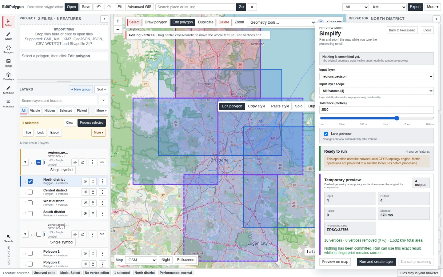
If the buffer looks wrong, return to Processing and check the source layer, scope, units and distance instead of accepting the result and repairing it afterward.
Run and create a derived polygon layer
When the preview matches the intended analysis, choose Run and create layer. The source is preserved and the result becomes a normal project layer with Processing provenance.
Each input feature is buffered independently by the Buffer tool. If you need internal boundaries between overlapping buffers removed afterward, run Dissolve on the buffer output. See Merge and dissolve polygons online.
Check complex results before export
Buffers around detailed coastlines, narrow polygons or high-vertex linework can produce complex output. Use Geometry Health if the result is operationally important or will feed additional topology operations. See Check and repair geometry.
For very large inputs, reduce the processing scope when possible and review large-dataset guidance.
Common buffer questions
Can I buffer points, lines and polygons?
Yes. The current Processing Buffer accepts all three geometry families and returns polygon geometry.
Can I use metres or kilometres?
Yes. The Buffer tool exposes metres, kilometres and miles as explicit units.
Does Buffer change my source layer?
No. Its normal result policy creates a new derived layer. The source stays available for comparison.
How do I make one combined buffer?
Buffer the features first, then Dissolve the resulting polygon layer if the analysis requires overlapping or touching buffer parts to become aggregate geometry.
- The correct source layer and All/Filtered/Selected scope are set.
- Distance and units match the real-world requirement.
- Curve detail is no higher than needed.
- The map preview shows the expected coverage.
- Dissolve is used separately only when aggregate buffer geometry is required.
- Complex output is validated before authoritative export or further overlay.