Keep a circle canonical until a format or polygon-only operation actually requires perimeter coordinates.
Understand the true-circle representation
A supported true GML circle is represented canonically as CircleByCenterPoint: a centre coordinate, radius and CRS-aware meaning rather than a stored ring of dozens of perimeter vertices.
EditPolygon can draw and edit that centre-and-radius model directly. Polygon coordinates are generated only when a destination format or polygon-only operation needs them.
Centre + radius. Keep this model when the curve itself must remain a circle.
A ring of perimeter coordinates generated for a workflow that cannot represent the canonical circle.
Draw a true circle
Choose Draw → Circle. Click the centre, then click a radius point. The geographic distance between those two interactions defines the circle radius.
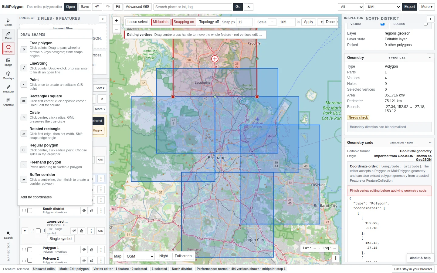
Edit centre and radius
Select the circle and use its circle-specific editing controls. Moving the centre changes position without converting the circle to a polygon. Changing the radius preserves the centre-and-radius model.
Review the Inspector to confirm the feature is still identified as a true circle/CircleByCenterPoint before expecting a GML round trip to preserve the curve.
Export a true circle as GML 3.2
Choose GML when the centre-and-radius curve must be preserved. For canonical circles, EditPolygon uses a strict GML 3.2 profile designed for consistent curve interchange: gml:FeatureCollection → gml:DynamicFeature → gml:location → a direct gml:Curve containing gml:CircleByCenterPoint.
The rendering profile declares urn:ogc:def:crs:OGC::CRS84, srsDimension="2", axisLabels="longitude latitude" and uomLabels="deg deg". The centre is therefore written in longitude/latitude order and the radius is written in metres.
<gml:FeatureCollection xmlns:gml="http://www.opengis.net/gml/3.2">
  <gml:featureMember>
    <gml:DynamicFeature gml:id="feature-1">
      <gml:location>
        <gml:Curve
          srsName="urn:ogc:def:crs:OGC::CRS84"
          srsDimension="2"
          axisLabels="longitude latitude"
          uomLabels="deg deg">
          <gml:segments>
            <gml:CircleByCenterPoint numArc="1">
              <gml:pos>153.02 -27.45</gml:pos>
              <gml:radius uom="m">15000</gml:radius>
            </gml:CircleByCenterPoint>
          </gml:segments>
        </gml:Curve>
      </gml:location>
    </gml:DynamicFeature>
  </gml:featureMember>
</gml:FeatureCollection>EditPolygon normalises the EPSG:4326 latitude/longitude variant to CRS84 with explicit longitude/latitude axis order. This avoids axis-order ambiguity and keeps true-circle exports internally consistent.
EditPolygon will not silently emit the older custom ep: wrapper or Polygon/Ring circle structure for a canonical true circle.
GML implementations vary in their support for curve geometry. When a downstream system is operationally important, test the exported file in that system before relying on the workflow.
True-circle GML follows a stricter preservation rule
When exported GML includes canonical true circles, EditPolygon keeps its strict GML 3.2 centre-and-radius profile and omits optional metadata extension fields, even if Preserve compatible data is selected. Save an .epz or separately export the required attributes if both the canonical circle and those records must remain available.
Ordinary supported non-circle GML uses different extension fields and may require an application schema in the receiving system. See the export compatibility guide.
Export to formats that cannot store the true circle
KML, KMZ, GeoJSON, Shapefile and other ordinary polygon formats do not preserve EditPolygon's canonical true-circle model. For those exports, EditPolygon approximates the perimeter with polygon vertices in the downloaded representation.
The project circle can remain canonical when the conversion is export-only. Choose enough vertices for the required map scale and positional tolerance without inflating the output unnecessarily.
Use polygon-only operations consciously
Some direct or Processing operations require explicit boundary coordinates. A true circle cannot remain a centre-and-radius curve inside a polygon-only topology algorithm.
When EditPolygon indicates that polygon conversion is required, review the consequence before continuing. After a project operation permanently converts the feature, it behaves as ordinary Polygon/MultiPolygon geometry and no longer has a canonical radius to export as CircleByCenterPoint.
An export can approximate only the downloaded copy. A project operation that needs polygon geometry can convert the working feature/result itself. Preserve an .epz checkpoint when the true curve matters.
Processing with circle-derived geometry
Processing forms restrict inputs to compatible geometry families. If an algorithm requires polygon boundary geometry, follow the conversion warning/policy exposed by the current workflow rather than assuming a circle can participate as a mathematical curve.
Once polygonised, the result can use normal polygon Processing such as Dissolve, Clip, Simplify or Geometry Health maintenance.
Test a true-circle round trip
- Save the current project.
Keep a checkpoint of the canonical circle.
- Export GML.
- Open the exported GML in a new/cleared project.
- Check the Inspector.
Confirm the imported feature is still recognised as a circle/CircleByCenterPoint.
- Compare centre and radius.
Allow only normal numeric/formatting differences rather than a changed geometry model.
Troubleshooting
A receiving system accepts the GML but the circle does not appear
Inspect the curve CRS and coordinate order. The canonical EditPolygon profile uses CRS84 with explicit longitude/latitude order.
A receiving system reports an unsupported file format
Confirm the file is a fresh GML 3.2 export using CRS84, longitude/latitude axis and centre order, metre radius, DynamicFeature/location wrapper, and no ep: or Polygon/Ring circle wrapper.
The Inspector now says Polygon
The circle has been polygonised. Undo if possible or reopen the preserved source/project when the canonical true-circle representation is required.
A GML export contains a LinearRing
Check whether the working feature was already converted to a polygon before export.
The circle looks angular in a non-GML destination
Increase the approximation detail for that export/workflow if available and appropriate to the required scale.
I cannot run a polygon-only operation directly
That is intentional: the algorithm needs explicit boundary coordinates. Accept the documented conversion only when losing the canonical circle representation is acceptable.
- The Inspector confirms a canonical circle before a curve-preserving workflow.
- GML is used when CircleByCenterPoint must be retained.
- Curve-preserving GML uses the canonical CRS84 longitude/latitude profile.
- The EPSG:4326 latitude/longitude upload-only variant is not used.
- Polygon approximation settings suit the destination scale.
- Project conversion is accepted only when a polygon-only operation genuinely requires it.
- An
.epzcheckpoint preserves the true circle before irreversible conversion.