Use EditPolygon for geometry and common attributes; verify complex KML presentation constructs in the destination system.
Know what EditPolygon is editing in a KMZ
A KMZ is a ZIP container whose primary spatial content is normally KML. It can also contain icons, images and other resources. EditPolygon is designed around editable geometry and common feature attributes; it is not a complete KML presentation-authoring environment.
Polygon/MultiPolygon boundaries, holes, names/common properties, direct geometry editing, Processing, validation and conversion.
Complex KML styles, folder hierarchy, NetworkLinks, tours, models, GroundOverlays, altitude modes and application-specific extensions.
Open KML or KMZ
Choose Open and select the .kml or .kmz. Keep KMZ packaged; EditPolygon decompresses supported KML content in the browser.
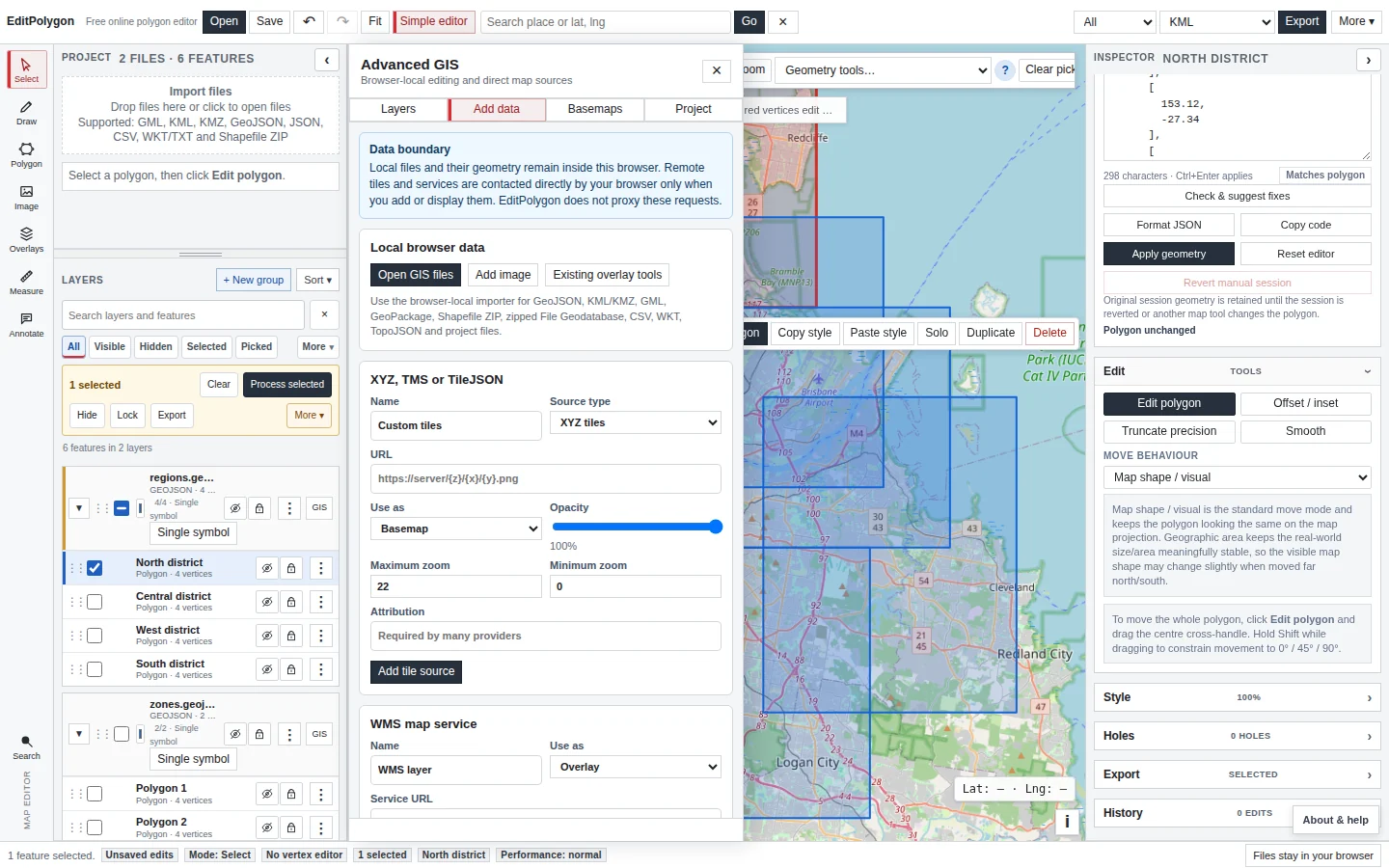
After import, use Fit and inspect the layer count and map position. Expand/select important placemarks and confirm geometry family, holes and attributes before editing.
Edit the feature with current tools
For a local boundary change, select the placemark and use Edit polygon. Use snapping/topology only when neighbouring boundaries are intentionally related.
Open Geometry code when you need to inspect or replace exact coordinates. Once imported, the active geometry is presented in the editor's GeoJSON geometry model rather than requiring you to hand-edit KML XML.
For repeatable layer operations such as Simplify, Snap, Dissolve, Clip or Fix geometries, use Processing rather than looking for those operations in the direct Geometry tools menu.
Process KML/KMZ-derived layers like normal GIS data
An imported KML/KMZ vector layer participates in filters, selections, attributes, styling, CRS inspection and compatible Processing tools like other editable data.
Preview consequential geometry operations on the map before Run. Processing creates a normal project output layer unless you deliberately choose a supported modify-source maintenance workflow.
Check geometry before export
Run Check & fix geometry after difficult edits or Processing where validity matters. Review shape-changing repairs rather than accepting them only because the output becomes technically valid.
Export KML or KMZ
- Choose the correct top-level export scope.
All, Selected and Visible serve different purposes.
- Select KML or KMZ.
Use KMZ when the receiving workflow expects a packaged file.
- Preserve coordinate precision unless you have a reason to reduce it.
- Verify the result in the destination application.
Compare geometry separately from KML-specific presentation.
Preserve selected placemark data without promising an exact KMZ copy
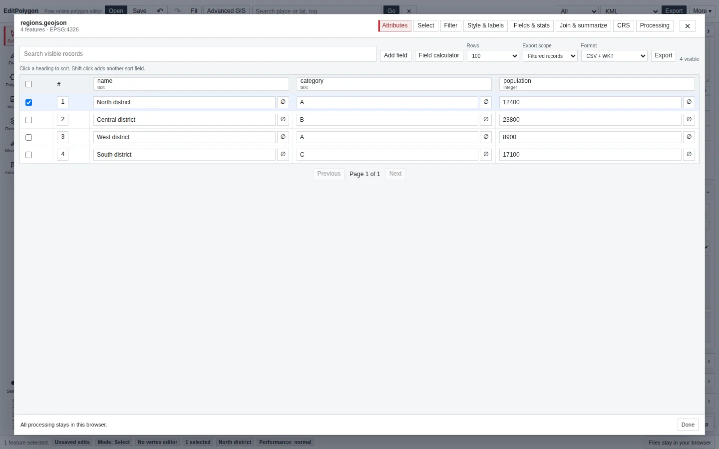
Geometry only is the default. Choose Preserve compatible data to retain available placemark names, original IDs, selected ExtendedData, safe plain-text descriptions, supported simple line/fill styles and source-folder grouping.
EditPolygon does not automatically repack original icons, embedded images, tours, models or complex KML presentation. Executable script content is not carried into KML/KMZ exports, and the fast large-file importer retains only bounded metadata. Keep the untouched KMZ when its attachments or complete structure matter, and verify the edited result in the receiving application.
See the selective export walkthrough for field-level choices and compatibility warnings.
Understand round-trip limits
| Content | Expectation |
|---|---|
| Polygon boundaries and holes | Editable and exportable; validate consequential changes. |
| Common feature names/properties | Retained where supported; verify required operational fields. |
| Complex KML style/folder presentation | May be simplified, flattened or represented differently. |
| Altitude/3D constructs | Do not assume full round-trip preservation in a primarily 2D editing workflow. |
| Embedded resources | Keep the original KMZ when those resources matter. |
Troubleshooting
The KMZ opens but does not look identical to Google Earth or another KML viewer
Check whether the difference is geometry or presentation. Complex KML styles, folders, icons and altitude behaviour can differ even when the boundary coordinates are correct.
The geometry appears in the wrong location
KML normally uses WGS 84 longitude/latitude. Check for malformed/swapped coordinates and inspect CRS assumptions if the source was generated unusually.
I cannot find Simplify or Merge under Geometry tools
Those repeatable layer operations moved to the Processing Toolbox. Use Processing → Simplify or Processing → Dissolve as appropriate.
- The expected placemarks and holes imported.
- Geometry edits used the current direct/Processing workflow.
- Required attributes remain present.
- Geometry was validated where necessary.
- The correct export scope was used.
- Styling/folders/3D or embedded-resource requirements were verified separately.