Keep the Shapefile components together in one ZIP, then treat the imported features as normal editable GIS data.
Keep the Shapefile together as one ZIP
An ESRI Shapefile is not a single .shp file. The geometry normally lives in .shp, attributes in .dbf, indexing in .shx, and coordinate reference information is commonly supplied in .prj. EditPolygon expects those related files to stay together in one ZIP.
Without the matching DBF you lose the attribute table, and without the PRJ the source CRS may be ambiguous. ZIP the complete dataset before opening it.
The general packaging rules are also covered in Open and import GIS data.
Open the Shapefile in the browser
Choose Open, drop the ZIP into the Project area, or use Advanced GIS → Add data → Open GIS files. EditPolygon inspects the archive, recognises the Shapefile components and opens the normal import-review flow before adding the features to the project.
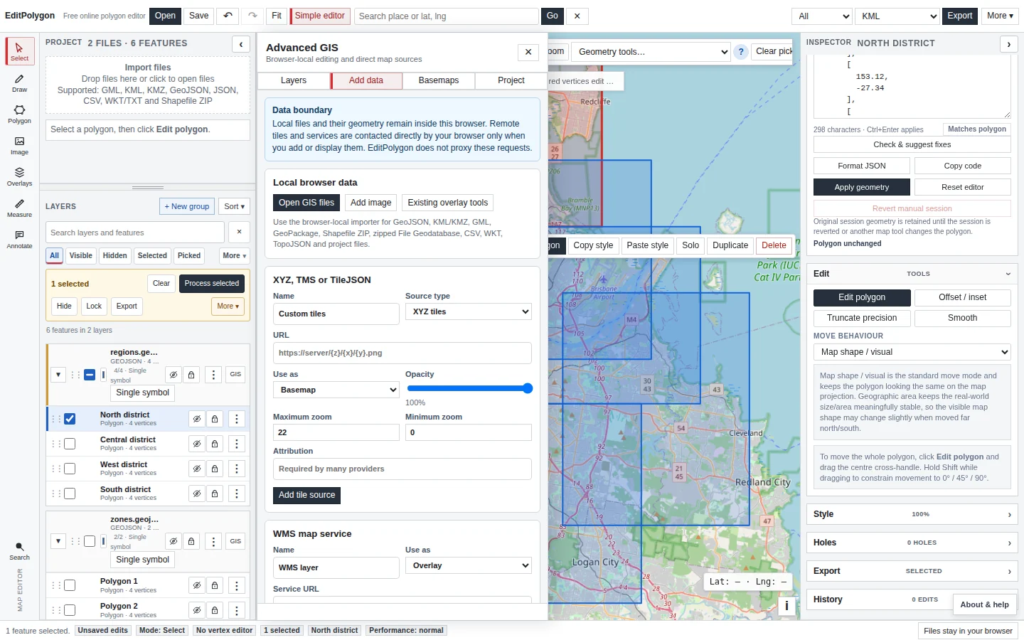
For local files, the source geometry is read in your browser. EditPolygon does not upload the Shapefile dataset to an application server.
Review geometry, attributes and CRS after import
Once imported, the Shapefile is no longer treated as a special read-only object. Its features participate in the normal editable layer model: selection, Inspector, Attributes, Filter, Fields & stats, styling, Geometry code and Processing.
If a .prj is present, review the detected source CRS in the layer's CRS workspace. If the coordinates are clearly in a projected system but the source metadata is absent or wrong, use the distinction explained in Assign and reproject a coordinate reference system: assigning metadata is not the same as reinterpreting coordinate values.
Edit the Shapefile features
Use the same feature-level tools as you would for GeoJSON or another editable vector layer. Select a feature to edit its attributes or geometry, move vertices for deliberate boundary changes, or use Geometry code when an exact coordinate replacement is easier than dragging.
For repeatable layer-wide operations, use the Processing Toolbox instead of manually repeating feature actions. Common examples include Buffer, Clip, Intersection, Dissolve, Simplify, Snap and Fix geometries.
See Draw and edit geometry and Processing Toolbox for the full workflows.
Validate before authoritative export
Shapefiles often move between desktop GIS, field systems and older operational workflows. If the geometry matters downstream, run Check & fix geometry after consequential editing or processing. Geometry Health separates safe cleanup from repairs that can change shape or topology.
The focused validation workflow is documented in Check and repair geometry.
Export the edited result
EditPolygon can export a Shapefile ZIP as one of its supported GIS interchange outputs. Choose the intended export scope first, then the format and output CRS. Keeping the export zipped preserves the related Shapefile components together.
You can also export the edited features as GeoJSON, KML/KMZ, GML, WKT, CSV or TopoJSON where those formats fit the destination better. GeoPackage is currently an import format rather than a GeoPackage export target.
See Export data and save projects for scope and project-saving details.
Choose which DBF attributes to export
Shapefile ZIP exports default to Geometry only. To carry supported attributes, choose Preserve compatible data and select fields individually. Field names are shortened to unique aliases of at most ten characters, and nested values may be converted to text. Verify renamed fields, value types and encoding in the receiving GIS; original domains and database relationships are not recreated.
Use the layer's CRS-aware export for a projected Shapefile ZIP with an available PRJ definition. See the selective export guide for all compatible-data controls.
Common Shapefile questions
Can I upload a .shp file by itself?
The reliable workflow is to ZIP the complete Shapefile dataset. A lone .shp does not carry the DBF attributes and may not carry enough CRS information for a correct import.
Can I change attributes as well as geometry?
Yes. After import, the records use the same editable Attributes and Inspector workflows as other local vector layers.
Can I export back to Shapefile?
Yes. Shapefile ZIP is a supported export format, including CRS-aware export where the requested target CRS is supported by the export workflow.
- The SHP, DBF, SHX and available PRJ files are together in one ZIP.
- The import review shows the expected feature count and geometry family.
- The source CRS is understood before coordinates are changed.
- Geometry and attributes were edited through the normal project layer.
- Consequential geometry changes were validated.
- The export scope, format and CRS match the destination system.