GeoJSON is both a readable interchange format and a full participant in the current GIS workspace.
Open or create GeoJSON
Choose Open for a .geojson or supported .json Feature/FeatureCollection, or create new geometry with the Draw tools. Imported GeoJSON becomes a normal editable layer that participates in attributes, filters, styling, CRS, Geometry Health and Processing.
Use Fit after import and confirm the expected real-world location and feature count before editing.
Understand GeoJSON geometry structure
GeoJSON coordinates normally use longitude, latitude order. A Brisbane coordinate is therefore approximately [153, -27], not latitude-first.
A Polygon contains an exterior ring followed by zero or more interior rings (holes). A MultiPolygon contains several polygon parts. Do not change array nesting merely to make JSON syntax valid—the nesting defines the geometry family.
Wrong nesting, collapsed rings, self-intersections and invalid holes can still exist inside syntactically correct JSON.
Edit visually on the map
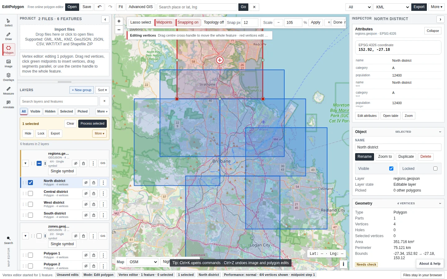
Select a feature and use Edit polygon for deliberate boundary changes. Drag existing vertex handles and insert vertices from midpoint handles. Snapping and topology are available when shared-boundary editing is intentional.
For points and imported lines, use the compatible current Inspector/map editing workflow rather than forcing them into a polygon model.
Edit geometry code directly
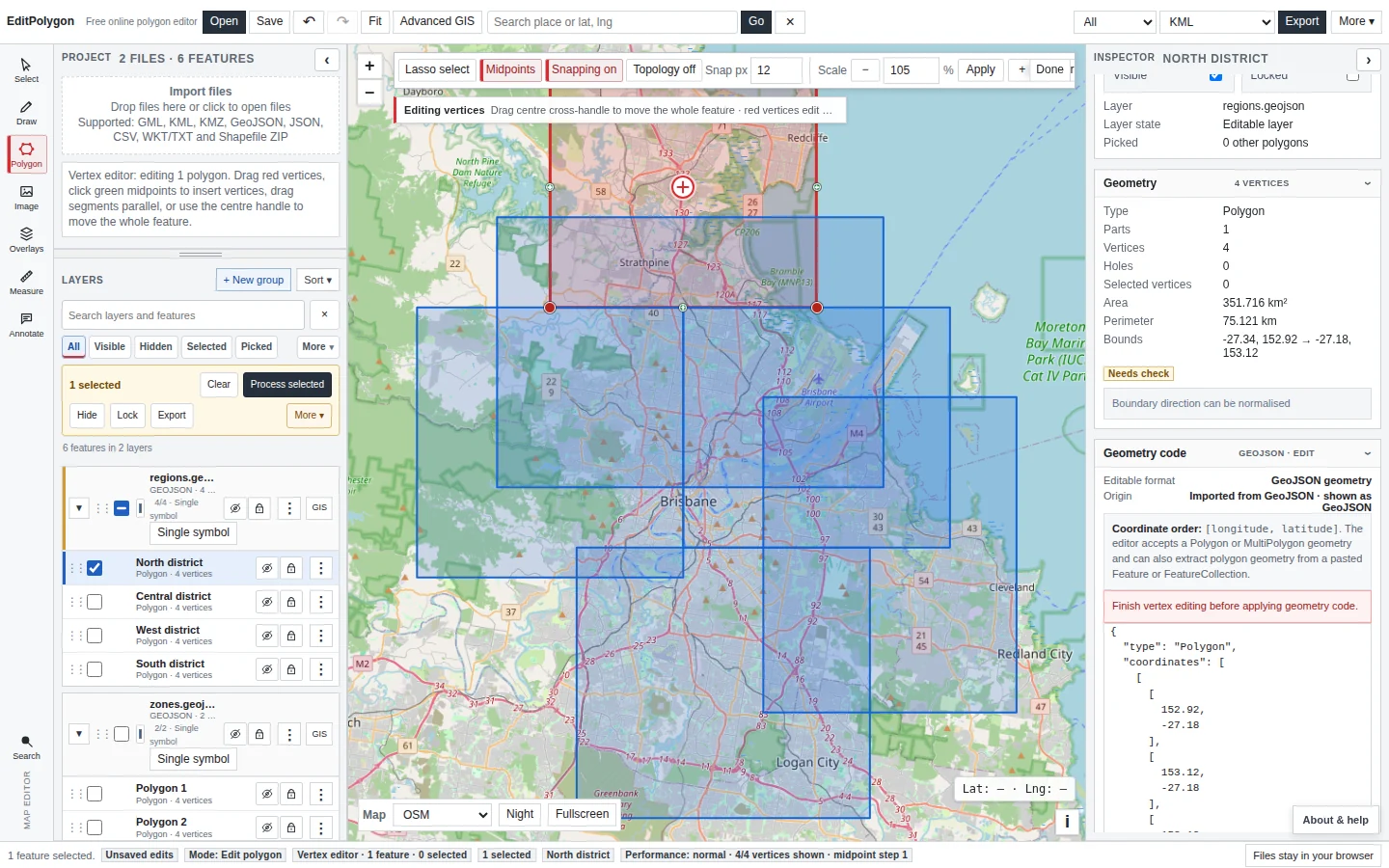
Open Geometry code in the Inspector. It shows the selected feature's geometry object—not the entire FeatureCollection—so you can inspect or replace exact coordinates without editing unrelated attributes or records.
The code editor supports Point/MultiPoint, LineString/MultiLineString and Polygon/MultiPolygon geometry families. Applying geometry uses the normal project edit/history path.
Work with properties as typed data
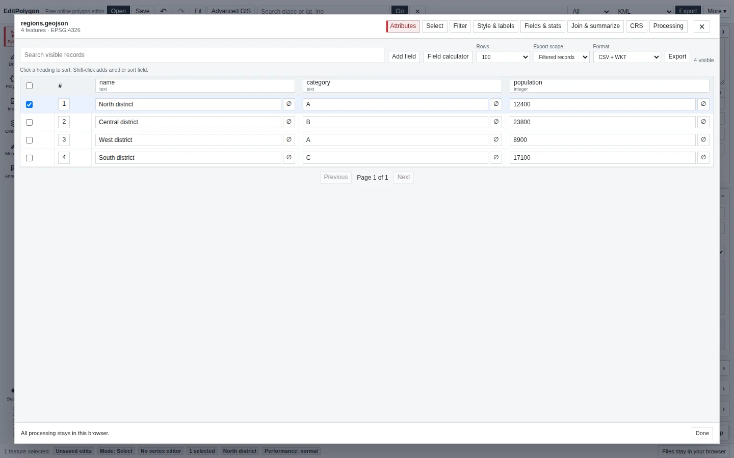
Open Attributes to edit feature properties and Fields & stats to manage the layer schema. Text, integer, decimal, boolean, date and datetime values are validated according to their field definitions.
Use compound Filters, saved filters and the Field calculator when the task is data-oriented rather than a one-feature map edit.
Use the Processing Toolbox
GeoJSON participates in the complete compatible Processing catalogue. Choose a tool, layer and All/Filtered/Selected scope explicitly; use map/data/selection preview where offered; then create a derived layer or choose an allowed modify-source maintenance result.
This replaces old advice to move to desktop GIS merely because you need CRS transformation, spatial joins, topology-aware overlays or common layer processing. Those workflows now exist in EditPolygon itself, subject to browser/device data-size limits.
See Processing Toolbox and Spatial joins and location queries.
Handle CRS correctly
Standard GeoJSON workflows commonly use geographic WGS 84 coordinates, but legacy metadata or unusual source pipelines can create other cases. Use the layer CRS tab when coordinates need assignment, interpretation or projected export.
Do not manually edit projected eastings/northings into “longitude-looking” numbers. Use the CRS transformation workflow.
Validate geometry
Run Check & fix geometry after structural Geometry code edits, difficult vertex changes or consequential Processing. Geometry Health explains issues and separates conservative cleanup from repairs that may change shape/type.
Export GeoJSON or another format
Choose the intended top-level geometry scope and GeoJSON format for a normal spatial download. Preserve full coordinate precision for authoritative boundaries unless an explicit product requires otherwise.
If you need only the property table, use the Attributes table's CSV — attributes only rather than embedding geometry in WKT.
Choose which GeoJSON information travels with the geometry
The main Export dialog starts in Geometry only mode. Choose Preserve compatible data to select individual properties, available original IDs, names, small collection-level metadata and supported source styling. Source-document metadata is held in an EditPolygon member rather than reconstructed in its exact original JSON structure.
Styles exported as GeoJSON properties are rendering hints, not a guaranteed appearance in other software. Script-like property values and external URLs require separate explicit opt-ins; EditPolygon never executes imported scripts. Information already discarded during an earlier import cannot be recovered by exporting.
See Export data and save projects for the field selector and format limitations.
Common GeoJSON problems
The JSON parses but does not import as spatial data
Check that it is a supported GeoJSON Feature, FeatureCollection or geometry structure rather than arbitrary JSON.
The feature appears on the wrong continent
Longitude/latitude are likely reversed, or projected coordinates have been supplied without the appropriate CRS interpretation.
A merge produced MultiPolygon
That is expected when the dissolved geometry remains disconnected. Do not force separated areas into one exterior ring.
I need an advanced spatial join
Use Processing → Join attributes by location or Spatial summary rather than exporting to another GIS by default.
- Coordinate order and geometry nesting are correct.
- Direct edits and Processing are being used for their intended kinds of work.
- Typed properties/schema remain valid.
- CRS interpretation is correct.
- Geometry Health was used after consequential geometry changes.
- The chosen export contains either geometry or attributes according to the downstream need.